Unveiling the Bronze Age landscape
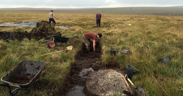
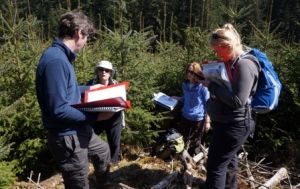
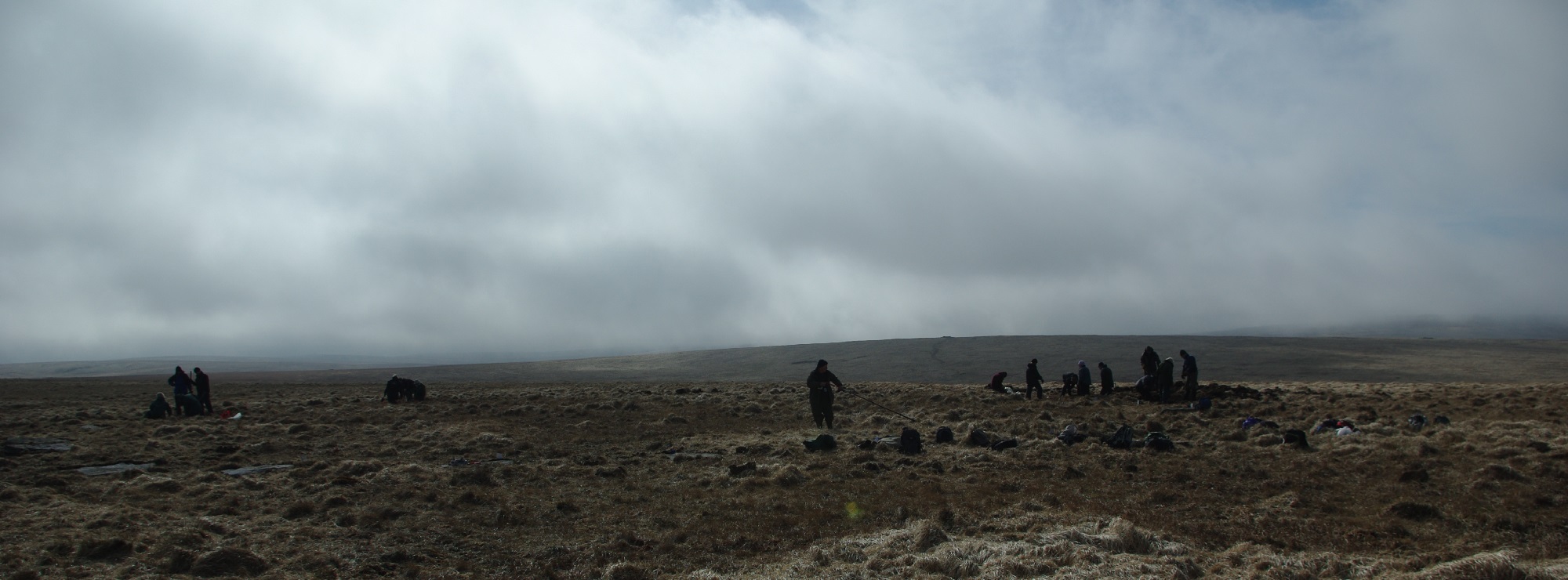
Excavation work at Sittaford Stone Circle
The project aims to improve understanding, enable better management of and promote the internationally important Bronze Age landscape on Dartmoor through a programme of survey, research, excavation, interpretation and conservation management works.
This will be achieved through the following outputs:
- Survey, research and excavate specific sites within the Whitehorse Hill area. Undertake restoration/conservation work as necessary
- Implement a programme of works to reveal and restore 24 archaeological sites to their age old settings within the 3 Forestry Plantations. Assist with future management; provide better public access and interpretation of these sites
- Carry out an archaeological baseline survey of the Rippon Tor area (one of Dartmoor’s PALS which contains 130ha of Scheduled Ancient Monuments) to underpin and inform future ES management plans and interpretation/education strategies
- Organize conservation works on 12 Scheduled Monuments (SMs) identified as being Heritage at Risk in conjunction with English Heritage (EH) Out of the 165 SMs within the MTME area 21% are currently recorded as being at High Risk. This will be EH main contribution to the MTME project and the work will be supervised by their Historic Environment Field Adviser (HERFA)
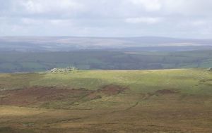
In 2007, the first stone circle to be discovered on Dartmoor in over 100 years was found near Sittaford Tor. At 525m above sea level it is not only the highest stone circle in south west England but is also one of the largest to be found on the Moor. In 2011 an excavation of a cist on Whitehorse Hill revealed the burial site and grave goods of a young woman who lived in the early Bronze Age. More recently several previously unrecorded features (possibly cairns) were identified in the vicinity of Hangingstone Hill. As ever, Dartmoor continues to offer up its long buried secrets, giving us glimpses into the lives of the people who lived on the Moor in our long distant past. 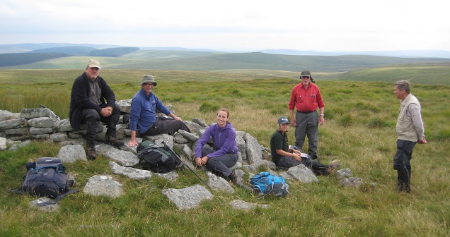
Volunteers at Whitehorse Survey
As these important discoveries reveal their individual stories, further investigation has continued to understand and capture this important information; through the Rippon Tor baseline survey, geophysical surveys and excavation (at Sittaford Stone Circle and Hangingstone Hill), peat depth surveys (Sittaford stone circle) and radiocarbon dating. The work has included opportunities for volunteers to work alongside the DNPA archaeology department in surveying and excavating these important sites. For the general public, replicas of the Whitehorse Hill grave goods can be viewed at the Postbridge Visitor Centre. There are also updated versions of the Whitehorse Hill booklet and the Fernworthy guide, available at all visitor Centres.
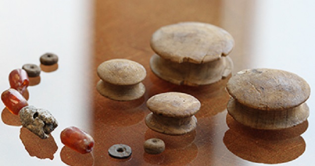
Bronze Age Finds
Within the Moor than meets the eye remit, work is also being undertaken, in partnership with Historic England, to remove SM’s (Scheduled Monuments) from the At Risk Register. To date,18 have been successfully resolved. There is also ongoing management at 24 important archaeological sites within the area. Currently, work on Hangingstone Hill has yielded some early results on the suspected ‘cairns’. One has proved to be a natural structure. The second is under scrutiny. At Sittaford stone circle work on samples taken during excavation is due to commence shortly and will provide fresh dating evidence as well as insights into the changing environment of the monument before its construction and during and after its use. Results will be published at a later date.
Want to know more?
Speak to Lee Bray, Archaeologist Dartmoor National Park Authority
Tel: 01626 831035
Email: lbray@dartmoor.gov.uk