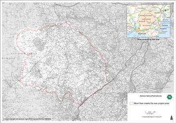
The Scheme covers 280 square kilometres of the southeastern corner of Dartmoor National Park, spanning the following parishes:
| Ashburton | Dartmoor Forest | Moretonhampstead |
| Bickington | Gidleigh | North Bovey |
| Bovey Tracey | Ilsington | Throwleigh |
| Buckland-in-the-Moor | Lustleigh | Widecombe-in-the-Moor |
| Chagford | Manaton |
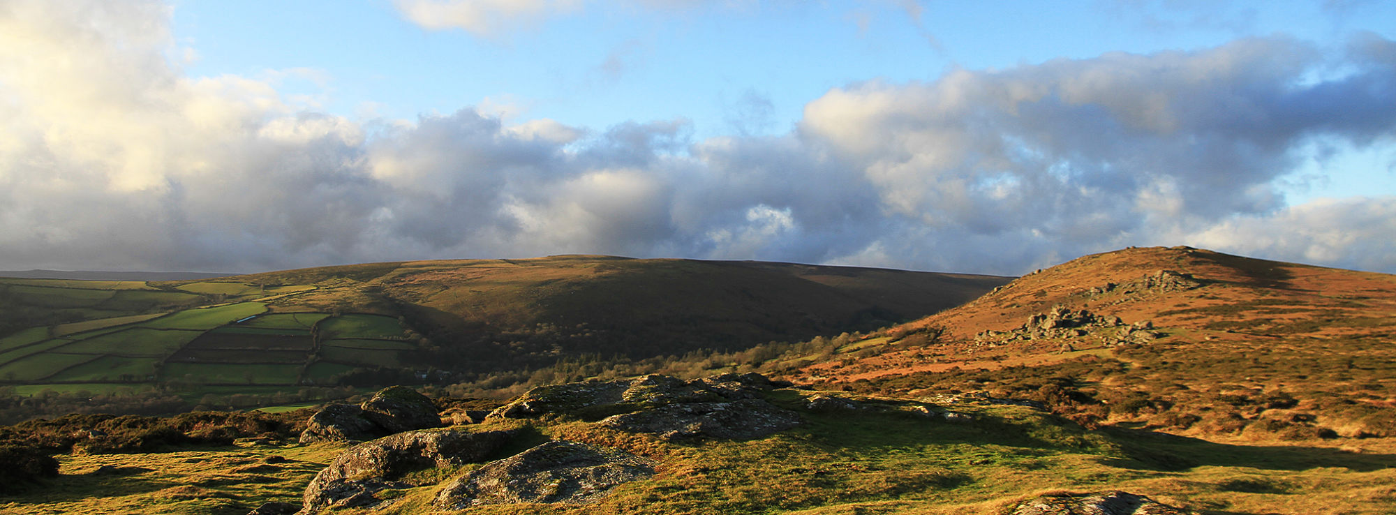
It contains six of the primary landscape character types considered to be quintessentially ‘Dartmoor’:
- unsettled high upper moorland
- upland moorland with tors
- moorland edge slopes
- upper farmed and wooded slopes
- lowland, and
- plain.