

Related Articles
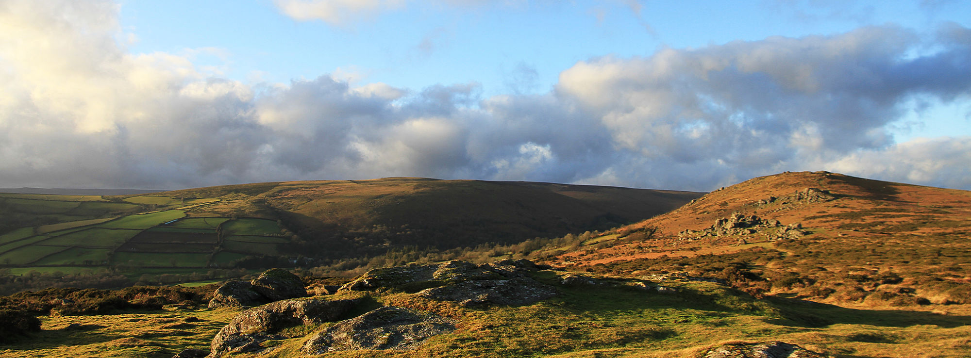
Everybody loves Dartmoor and everyone wants to make sure it is preserved for the future. It's a lovely part of the country with lots of interesting plants and insects that need looking after.
A project to work with pony keepers on Dartmoor and to identify and implement repairs to a number of pounds and driftways. The Dartmoor pony reflects a vital part of the human story of Dartmoor. They were initially used to transport goods and latterly, with their selective grazing of moorland, they play a vital role in maintaining a variety of habitats and supporting wildlife.
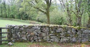
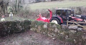
A grant scheme to help repair significant walls and gateways which are clearly visible from the highway or well used access routes. Interpretation to raise public awareness of the importance of respecting stone walls. There has been a gradual deterioration over decades of Dartmoor’s stone walls due to weather, careless clambering by visitors and government grants favouring fencing over stone wall restoration.
Last update: 02 Nov 2015 12:31pm