


22 May 2015
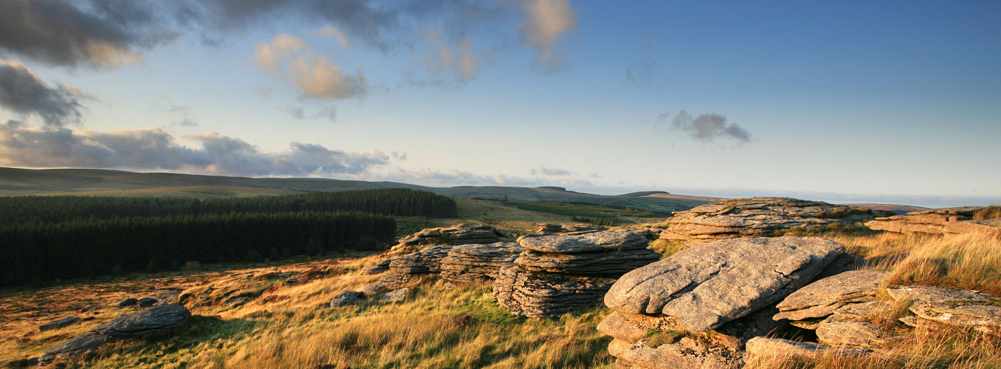
LiDAR mapping is a relatively new technique to enable digital aerial photographs to be taken of the landscape. It has great potential to help archaeologists explore the landscape and look for clues of previous human inhabitation. During the development of the scheme we surveyed Fernworthy, Bellever, Soussons and the East Dartmoor NNR. The LiDAR is able to see through the woodland canopy and map the forest floor to enable us to see a landscape without trees. We met with an enthusiastic group of ...
Related Articles
Our Community Stakeholders’ Group is still on the lookout for members to advise the Moor than meets the eye Landscape Partnership Board of the views of the local community and a variety of user groups in the delivery of the Scheme until the end of 2019. If you feel you have something to offer then please read on…

Our Community Stakeholders' Group is still on the lookout for new members to advise the Moor than meets the eye Landscape Partnership Board of the views of the local community and a variety of user groups in the delivery of the Scheme until 2019.
Ashburton was one of Moor than meets the eye’s pilot Parishcapes parishes alongside Moretonhampstead, Lustleigh and North Bovey. The Guild of St Lawrence, who manage the grade II listed St Lawrence Chapel, have developed a comprehensive research project which will look into all aspects of medieval Ashburton.
Last update: 07 Jun 2016 8:26am